Technical Description
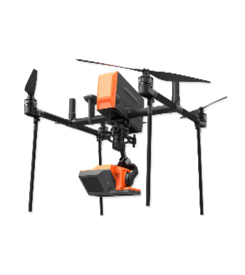
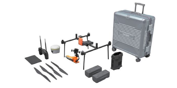
The WTC-F4/F6 series drone radar flow measurement system is an unmanned flow measurement system developed for high-flood river surveys and field emergency monitoring. This system integrates a 24GHz radar flow velocity module, a 24-26GHz radar water level module, and a video system via a two-axis stabilized gimbal, and is mounted on a quadrotor/hexacopter drone. The system can be integrated with cross-sectional GIS to monitor flow velocity, water level, and discharge, and directly generate flow statistics that comply with hydrological standards.


.png)
.png)


